invsnr
This is a utility for analyzing time-varying smooth surfaces with GNSS interferometric reflectometry.
The method was first introduced by Joakim Strandberg and
his colleagues. This implementation of the method was written by
David Purnell. It reads the inputs from the gnssrefl package (SNR files).
It analyzes L1, L2, and L5 signals and the GPS, Galileo, Glonass, and Beidou constellations.
You might notice that the Lomb Scargle Periodogram (LSP) results displayed from this software are different
than the gnssir. In some locations you might see relatively large outliers. This is to be expected.
This code uses the LSP results as a starting solution - the quality control applied
is entirely different than what was used in gnssir. Since the point of this code is to estimate smoothly
varying sea level, I don’t think we need to make the LSP portion of it a clone of gnssir.
Note:
txt and csv output is now supported.
You can specify the temporal sampling of the output.
a simple refraction correction (elevation angle bending) has been included
Running the code
The REFL_CODE environment variable must be set. This variable is used for storage of the SNR files and the inputs to the analysis strategy.
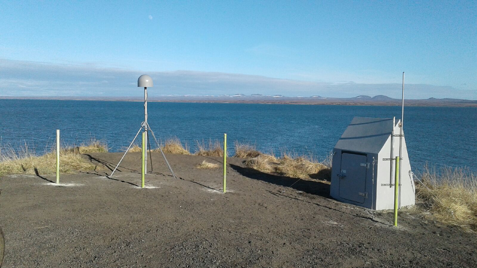
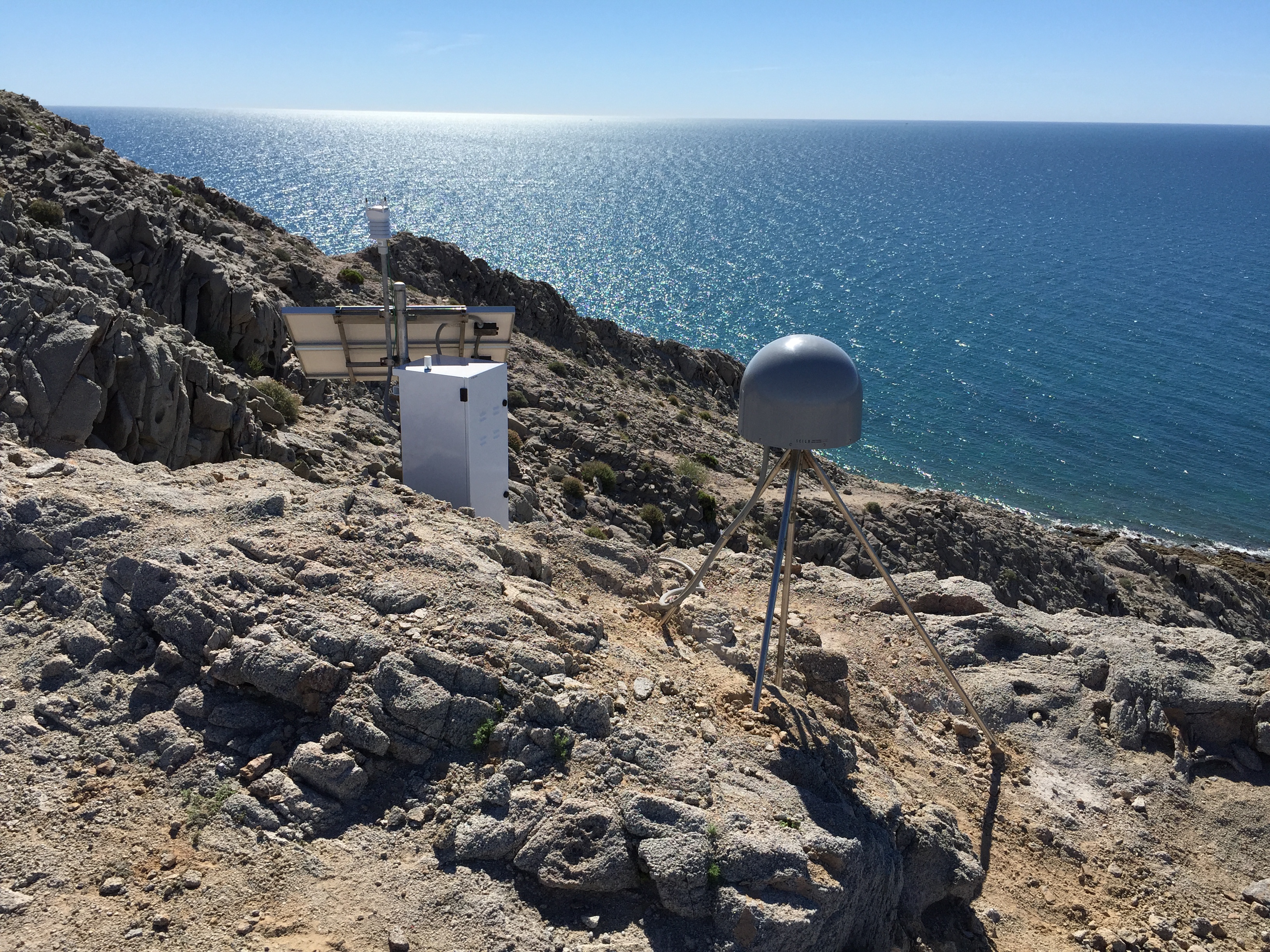
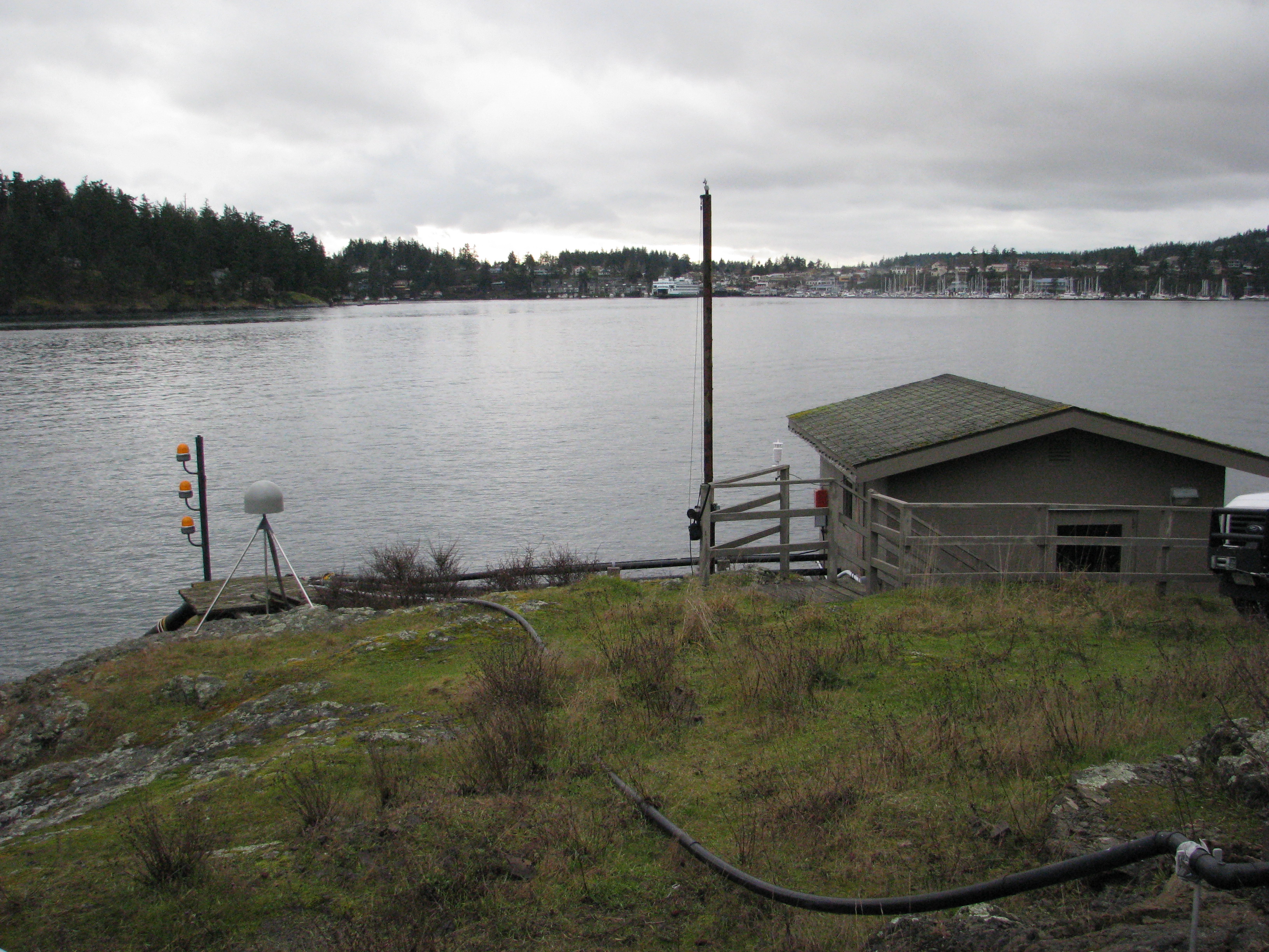
I. Make SNR files as you would normally for the gnssrefl using rinex2snr. They will be stored in
$REFL_CODE/yyyy/snr/ssss where yyyy is the year and ssss is the station name.
II. Set up analysis instructions. These instructions are stored in $REFL_CODE/input.
The only required input is the station name (four characters lowercase). The defaults can be viewed by
typing invsnr_input -h or using the documentation.
Example:
invsnr_input p041
In this case the station coordinates for p041 will be retrieved from the UNR database. If you have a site that is not in the database, please use -lat, -lon, -height inputs.
For almost all tide gauge sites you will need to add an azimuth restriction using -azim1 and -azim2. Here we will continue using p041 as the example
invsnr_input p041 -azim1 180 -azim2 270
Please note the default elevation angle ranges. They can be changed on the command line.
Because this software identifies rising and setting arcs in a different way than gnssir, you
can set a single range of azimuth ranges. But as it was written by the original author, there is no way to have
two distinct sets of azimuth regions. I do not think this will be hard to change - so feel free to give it a look
and submit a pull request.
III. Run invsnr
Required inputs
station name (4 characters, lowercase)
year
day of year
frequency (e.g. L1, L2, L5, L6, L1+L2, L1+L2+L5). ALL means L1+L2+L5+L6+L7
The code will attempt to use GPS, Galileo, and Glonass unless you tell it otherwise
Output of the invsnr Code
The code makes a first cut of LSP reflector height estimation. It also does a cubic spline fit and then the spline fit estimation. I am currently printing out the smoothed results to a plain txt file every five minutes. You can modify that temporal setting or change to a csv format at the command line.
Warning: No phase center corrections are currently applied to the reflector heights. Nor are changes from material properties addressed (water, snow, ice).
Example for station AT01
Make SNR files
rinex2snr at01 2021 301 -doy_end 303 -orb gnss -archive unavcoSave analysis strategy
invsnr_input at01 -h1 9 -h2 14 -e1 5 -e2 13 -azim1 20 -azim2 220Just one day of GPS on L1:
invsnr at01 2021 301 L1 -constel G

Two days with L1 and all constellations:
invsnr at01 2021 301 L1 -doy_end 302

Two days with L1+L2+L5 and all constellations:
invsnr at01 2021 301 L1+L2+L5 -doy_end 302

Example for station TNPP
Make SNR files using
rinex2snr, using high-rate data, UNAVCO archive, and GNSS orbits optionsSave analysis strategy
invsnr_input tnpp -h1 58 -h2 67 -e1 5 -e2 12 -azim1 180 -azim2 270Two days with L1+L2+L5, all constellations, decimate to speed up the code (1-sec data will be very slow)
invsnr tnpp 2021 315 L1+L2+L5 -doy_end 316 -tempres 2

Example for station SC02
Used default 15 second RINEX files from UNAVCO and -orb gnss option
ranges: 3.5-8 meter RH, 5-13 elevation angle, 40-240 azimuth
Multi-day, multi constellation, L1+L2
invsnr sc02 2021 30 L1+L2 -doy_end 33

Future Changes
Currently assumes you are using full 24 hour SNR files. This obviously is not very sensible if you have a large gap at the beginning or end of your analysis.
Further reading
J. Strandberg, T. Hobiger, and R. Haas (2016), Improving GNSS-R sea level determination through inverse modeling of SNR data, Radio Science, 51, 1286–1296 pdf
D. Purnell, N. Gomez, et al. (2021) Precise water level measurements using low-cost GNSS antenna arrays, Earth Surf. Dynam., 9, 673–685 pdf